Contact Us:
zen.mariani@ec.gc.ca
HIWR:
High Impact Weather Research
zen.mariani@ec.gc.ca
- Home
- ZDR
Daily Plots
- ZDR (Animation)
Monthly Plots (Animation)
Daily Plots (Animation)
- Sensitivity
-
Radar Field Guide
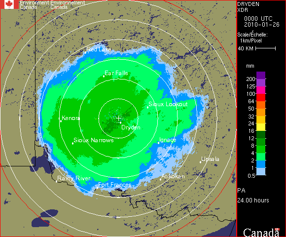
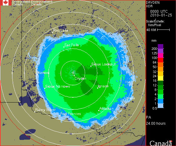
WBI - Britt WGJ - Montreal River WHK - Carvel WHN - Jimmy Lake WKR - King City WMB - Lac Castor WSO - Exeter WTP - Holyrood WUJ - Aldergrove WVY - Villeroy WWW - Spirit River XAM - Val D'Irene XBE - Bethune XBU - Schuler XDR - Dryden XFT - Franktown XFW - Fox Warren XGO - Gore XLA - Landrienne XMB - Marion Bridge XME - Marble Mtn XNC - Chipman XNI - Lasseter XPG - Prince George XRA - Radison XSI - Mt Sicker XSM - Strathmore XSS - Silver Star XTI - Timmins XWL - Woodlands
- SITES

Canadian Arctic Weather Science

High Impact Weather Research


